Cookie settings

  • We place functional cookies with which we can measure the use of the website.

nlen

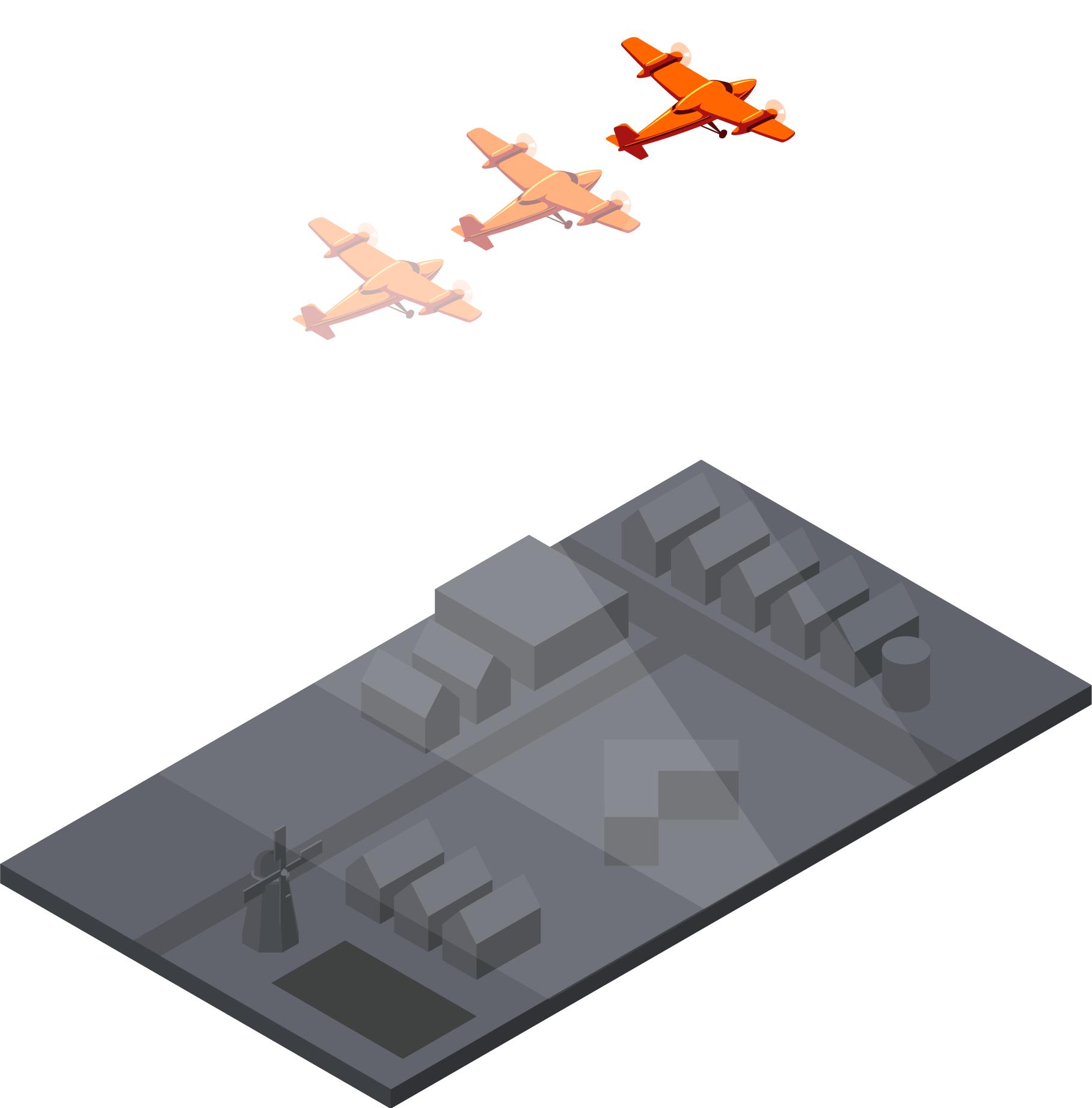
We translate aerial imagery in information.

Aerial imagery is used widely to gather information about a building or an area. But imagine you need information about thousands of buildings, an entire town or an entire country? Doing this manually is not an option! Readar applies data mining on aerial imagery. We extract information from aerial imagery using Remote Sensing and Machine Learning. By doing so, we are able to save you many man-years of work.

Our data

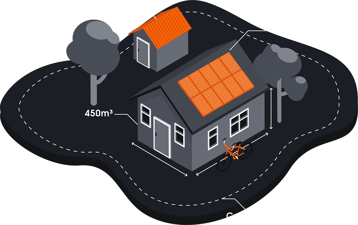
If you can see it on an aerial imagery, we can deliver it as a dataset. And more: we deliver pointclouds from aerial imagery, map asbestos roof material, the presence of solar panels, change detection, volumes of buildings, floor areas and 3D models of roofs and buildings. All information can be linked to addresses. Using this information, you can add value to your own applications. If you want to know more about the data we can deliver, please consult our product sheet.

Download productsheet
visual data

Coverage

All our data is available nationwide. Readar has the infrastructure to analyse many thousands of kilometres and has all the licences for land-covering aerial imagery. Therefore, you don’t need to have your own imagery. Of course we can also analyse specific aerial imagery on demand. The possibilities for our existing data per country can be found here.

Download coverage

Usage

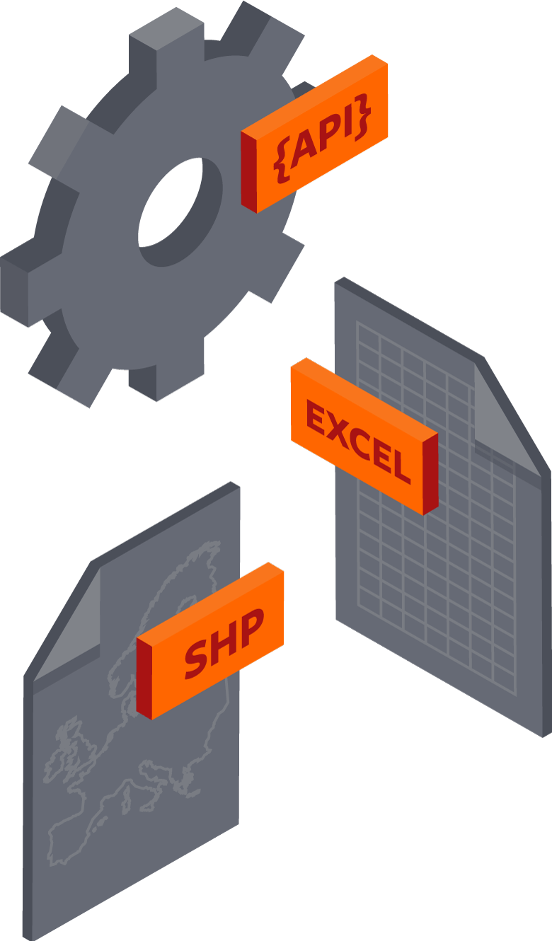
You can request information on any object at any given time via our API. For example when you want to validate online applications via your website. If your application relates to a project, or if you would rather host the data yourself, we can also supply you with a data dump. We can deliver almost any file format and structure such that it fits your current way of working.

visual access

Method

A typical project starts by determining the reliability that you require of the data. Dependent on the outcome, we use a fully automatic approach, using remote sensing and machine learning, or a semi-automatic approach. For the semi-automatic approach our algorithms select relevant objects, which are then manually checked by our taggers. Because of our statistical approach, we can determine the optimal amount of manual checks needed to reach the desired level of reliability.

visual collect

Applications

Governments: more than half of the Dutch municipalities use Readar’s data. We help them by monitoring asbestos roofs, solar panels and green roofs. In addition to that, our building information is used in annual Taxation appraisals. Readar’s change detection technology is used to manage various geo-datasets managed by local governments such as base maps and building administrations.


Other users: apart from local governments, our data is used by several industries for a large variety of applications. For example:

– Home insurance companies, for calculations of fees

– Installation companies, for lead generations and quotes

– Banks, for valuations

– Energy companies, for marketing

– Utility companies, for monitoring


Some end users use the data themselves, others use industry experts who have developed solutions for specific industries. If you do not have the knowhow or the resources to use the data, we  will gladly connect you with experts who have worked with our data before. Reader has a vast network and can advise you the right expert for your industry.
Readar

  • Presence of solar panels
  • Potential for solar panels
  • Change detection
  • Asbestos roofs
  • City planning
  • Risk assessment
  • Lead generation
  • Online applications
  • Monitoring
  • Remote quotes
Proud to be used by